The Greater Paramaribo project area is about 600 km2 and drains to the Suriname River through a combination of open channels and closed sewers. The Saramacca Canal plays an important role in the drainage system, draining an area of approximately 190 km2, of which 70 km2 is heavily urbanised. The city has been growing and is expanding and is prone to pluvial flooding. During heavy rainfall, flooding of properties and roads occurs quite regularly.
Climate change, with intensified rainfall events and sea level rise (resulting in higher water levels on the tidal Suriname River, limiting drainage options), and possible subsidence will increase the flood risk for the whole Greater Paramaribo area. The relatively poor condition of the general drainage network, including primary (Saramacca Canal), secondary and tertiary canals and outlet structures to the river, is an important factor determining the occurrence and severity of flooding.
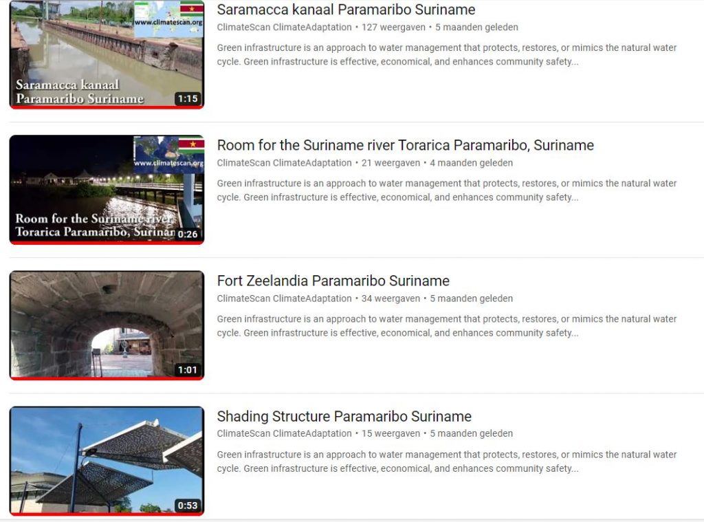
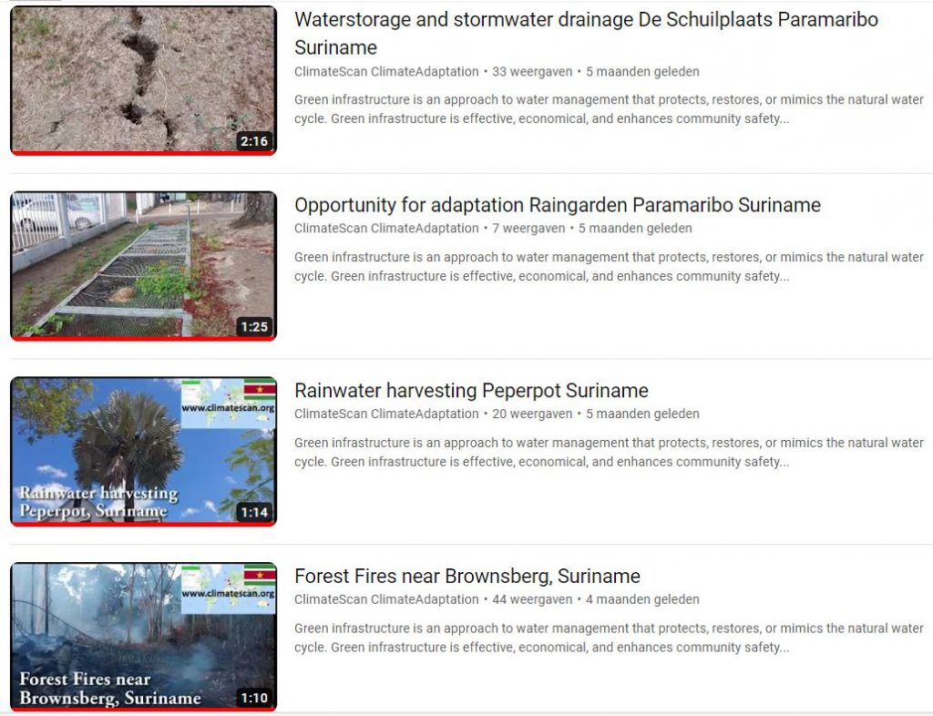
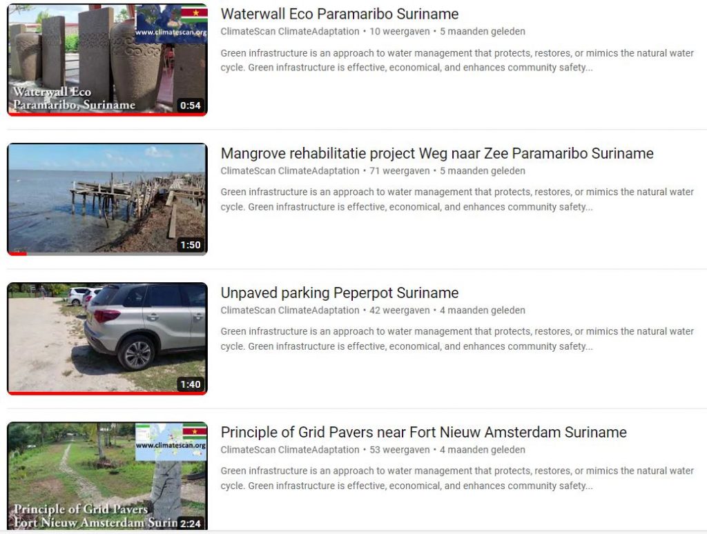
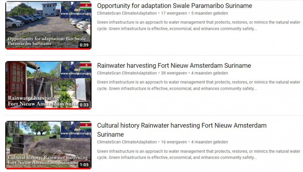
Solutions involve urban nature-based solutions or green infrastructure. Green infrastructure is an approach to water management that protects, restores, or mimics the natural water cycle. Green infrastructure is effective, economical, and enhances community safety and quality of life.
This climatecafe focused on mapping existing green infrastructure or oppurtunities for implementing nature-based solutions. The results involve a set of projects mapped on climatescan.org suitable for upscaling. All videos with links to climatescan for more info, can be found: Rainwater harvesting Fort Nieuw Amsterdam Suriname (youtube.com)