Semarerang CityScan 2017-2018, Indonesia
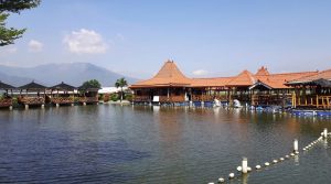
Northern Semarang is a low-lying area which experiences land subsidence, high exposure to high tides and storm surges and heavy rainfall. The combination of sea level rise and land subsidence increases the risk of tidal floods in Semarang. On top of that the water- and airquality in the city should be improved.
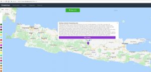
picture: mapped BMPs on www.climatescan.nl such as floating urbanisation for climate resilience in Semarang Area.
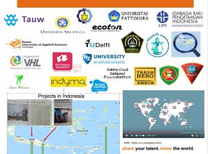
The Semarerang CityScan 2017-2018 consist of several actions with a large number of stakeholders to co-create designs and implementation of Best Management Practices:
- mapping of existing BMPs
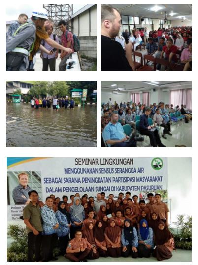
- workshops with stakeholder analysis
- presentations to raise awareness
- training and capacity building
- measurements on waterbalance and waterquality assesment
In the near future more activities will take place for further improvement of the livability of Semarang and its region.